Postcard Memories is a series of historic views, stories, and photos of Bradford and the area, a trip down memory lane on a Saturday morning.
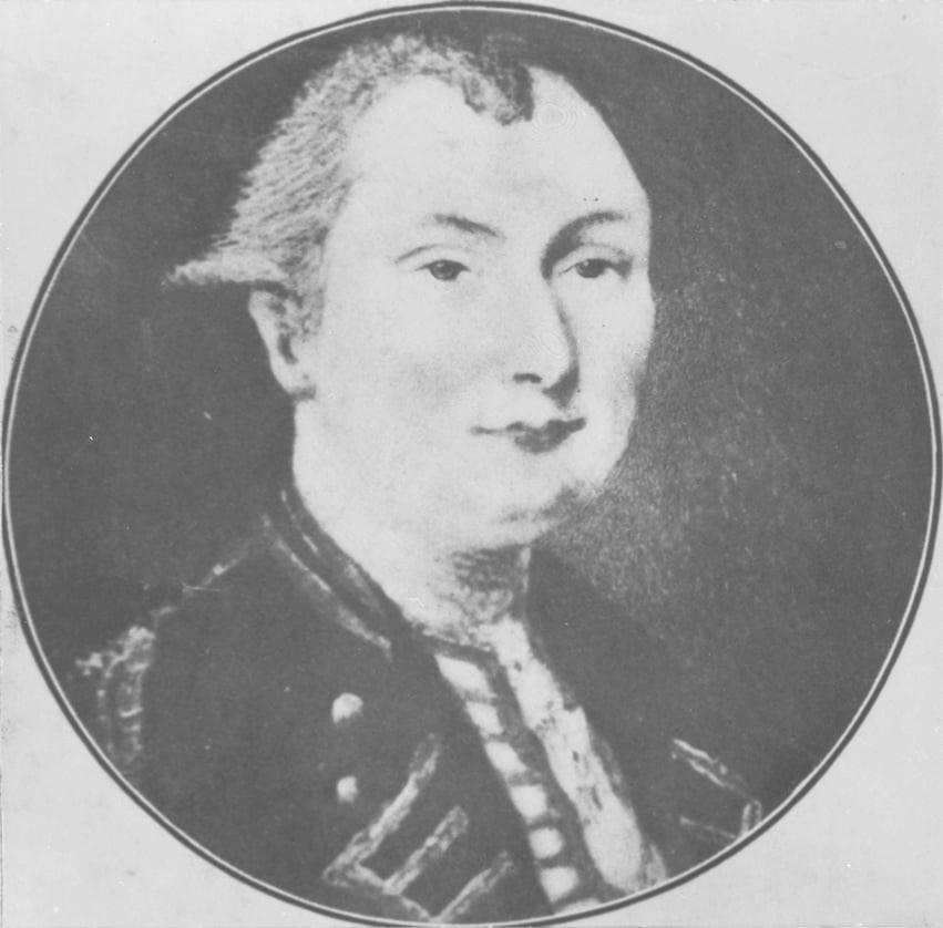
Most people believe the Holland River and Holland Marsh were named after the Dutch settlers who turned the wetlands into flourishing farms. In fact, both were named in honour of Captain Samuel Holland.
Ironically, the man was Dutch.
Samuel Holland was born in 1728. He served with the British army as an engineer and surveyor in North America during the Seven Years War and American Revolution. One of his pupils was future explorer James Cook.
Holland’s role in Canadian history is far-reaching. Among many accomplishments, he surveyed PEI, set the borders of Nova Scotia, and drew boundaries between the new provinces of Upper and Lower Canada (Ontario and Quebec respectively) that still stand today.
In 1791 the aging officer conducted a survey of both branches of the slow-flowing Holland River and ventured out onto Lake Simcoe to chart that body of water as well. The map of “Lake LeClie” (as Lake Simcoe was then known) produced by Holland is the earliest known to exist of the lake's southern extremities. During this survey, Holland had several log cabins built on the east branch of the Holland River to serve as a base camp for his expedition. This would become the genesis for the community of Holland Landing.
But this was to be his last hurrah. The strain of active surveying proved too much for the aging gentleman and resulted in a precipitous decline of his health. He died in 1801.
Holland’s surveying of the Holland River and Lake Simcoe would soon bear fruit: within a few short decades, these bodies of water became the highway for commerce and settlement that allowed central Ontario to develop.


