WEATHER ALERT
ENVIRONMENT CANADA
*************************
Snow squall watch in effect for:
- Innisfil - New Tecumseth - Angus
Snow Squalls possible today and tonight.
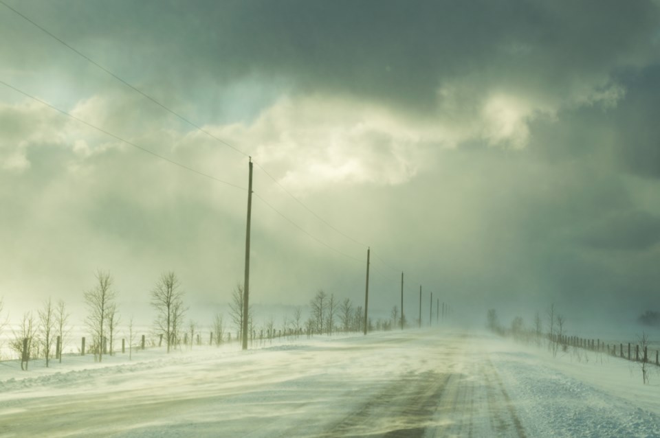
In the wake of a sharp cold front, lake effect snow will develop this morning. Areas to the north are currently under a snow squall warning, however these snow squalls may be strong enough to stretch into the Innisfil and northern York - Durham regions late this morning through evening.
Local snowfall accumulations of 10 to 15 cm will be possible under the most intense snow squalls. Gusty winds will accompany these snow squalls at times resulting in periods of blowing snow.
The snow squalls will shift to the north near midnight as the wind shifts to the southwest.
Snow squalls cause weather conditions to vary considerably; changes from clear skies to heavy snow within just a few kilometres are common. Visibility may be suddenly reduced at times in heavy snow. Public Safety Canada encourages everyone to make an emergency plan and get an emergency kit with drinking water, food, medicine, a first-aid kit and a flashlight.
Please continue to monitor alerts and forecasts issued by Environment Canada. To report severe weather, send an email to [email protected] or tweet reports using #ONStorm.
*************************


