WEATHER ALERT
ENVIRONMENT CANADA
*************************
Special weather statement in effect for:
- Innisfil - New Tecumseth - Angus
- Orangeville - Grand Valley - Southern Dufferin County
- Shelburne - Mansfield - Northern Dufferin County
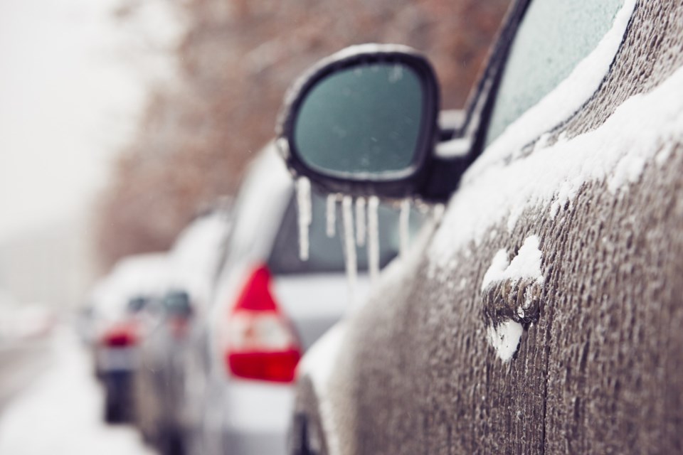
Winter storm expected Wednesday night into Thursday.
Hazards:
Wintry mix of snow and ice pellets leading to hazardous winter travel conditions.
Risk of freezing rain.
Timing:
Wednesday night into Thursday.
Discussion:
A Colorado low is expected to bring a wintry mix of snow and ice pellets to much of southern Ontario. Precipitation may fall heavily at times leading to hazardous winter travel conditions. Precipitation may also mix with freezing rain in some areas. There remains some uncertainty for the exact location, timing, and accumulations of snow and ice pellets.
Warnings may be issued as the event draws nearer.
Impacts:
Surfaces such as highways, roads, walkways and parking lots may become difficult to navigate due to accumulating snow and ice pellets.
There may be a significant impact on travel in the region.
Please continue to monitor alerts and forecasts issued by Environment Canada. To report severe weather, send an email to [email protected] or tweet reports using #ONStorm.
*************************


